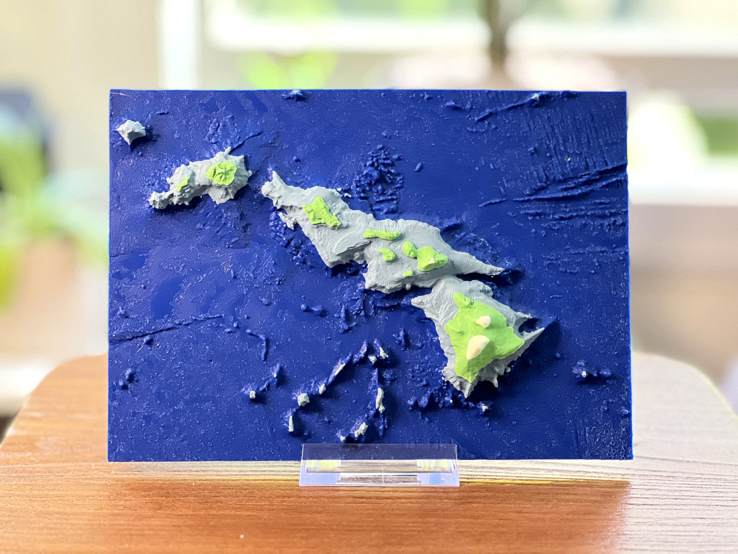
Sculpted bathymetry  ·  American made

Beyond
the sea.

Relief maps of the world beneath the surface, fabricated as museum-quality objects.

View the collection →
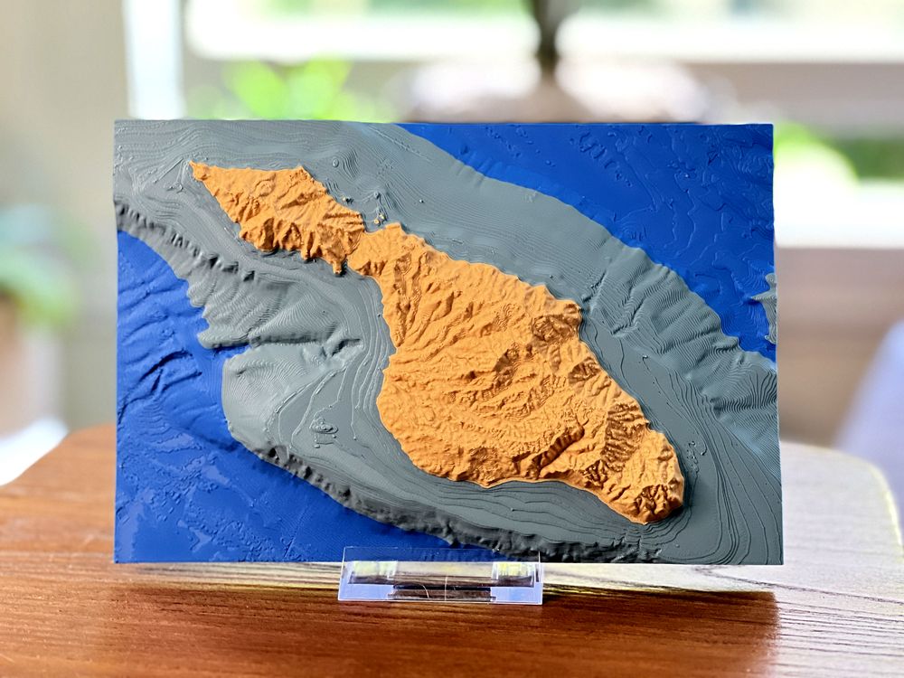
The Channel Islands 33°55′N 119°40′W
Large-format relief, detail

Ultramarine —

Latin; beyond the sea.

A deep blue pigment favoured by the Old Masters, once considered more precious than gold.

Ultra Marine strips the depths of their mystery, and reveals the incredible landscapes beyond the sea in meticulously fabricated works of art.

Mapping the unseenII

Mariners are drawn to wide blue horizons, and landlubbers fear the vast expanse.Both know the bottom is not their friend.

Ultra Marine channels a visceral fascination with the foreign world of the seafloor, and rewrites nautical mapping tradition using advanced technology.
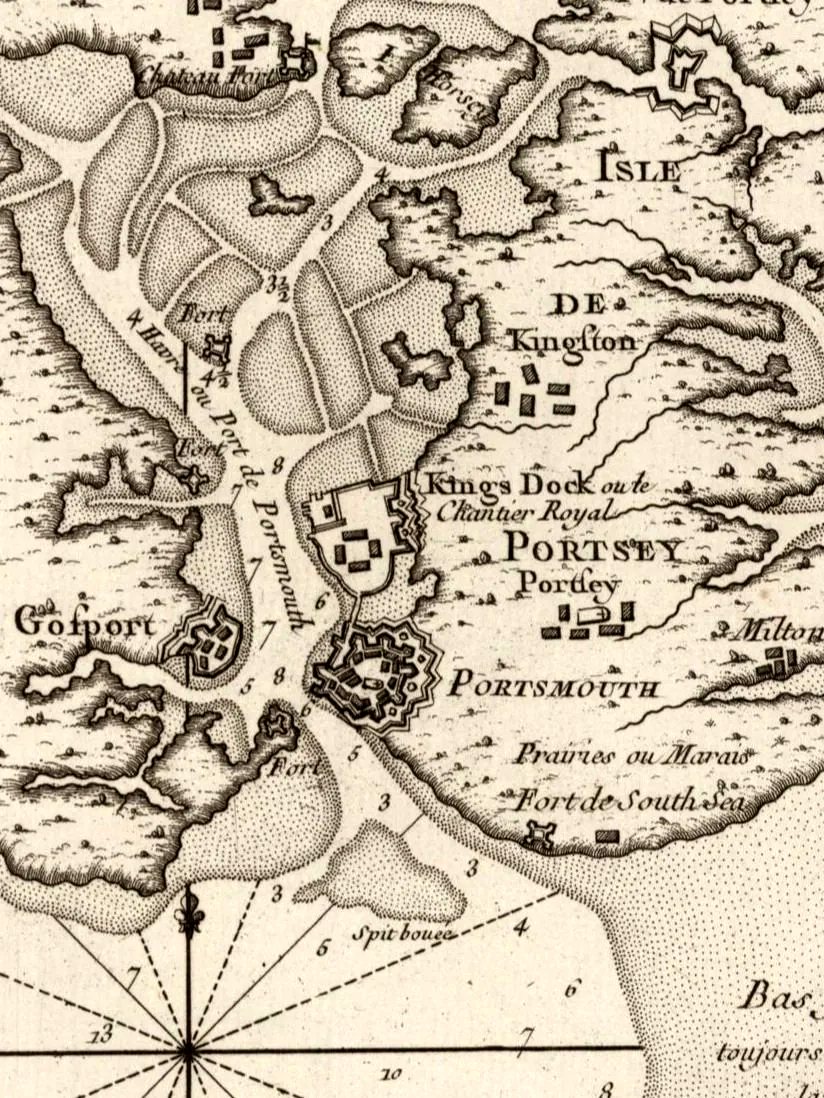
An eighteenth-century hydrographic chart of Portsmouth harbour with hand-sounded depths
Hand-sounded chart, 18th century

Hydrographic mapping is as old as maritime navigation. Ancient seafarers sketched primitive maps of coastlines and water bodies. During the Age of Exploration, sailors ventured into uncharted waters, and understanding the seafloor’s contours became paramount. The Dutch used the peillood, a lead-weighted line hurled repeatedly overboard to measure depth and establish routes of clear passage for sailing ships.

This tradition of depth sounding has been surpassed by multibeam sonar and satellite sensing, but modern charts contain just the minimum information required for safe passage. The true mystery of the deep remains.

Bypassing human cartographic intervention, Ultra Marine uses modern digital techniques to physically present the sculpted seabed in ways familiar yet mystifying to old salts and landsmen alike.
From sounding to sculptureIII
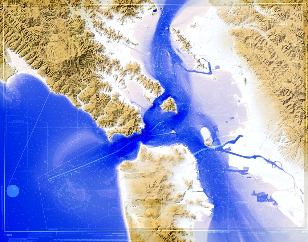
Digital depth model of the Golden Gate
01 — Survey

Reading the depths

Each piece begins as survey data: millions of soundings and elevations, composed into a single continuous surface from mountaintop to seabed.

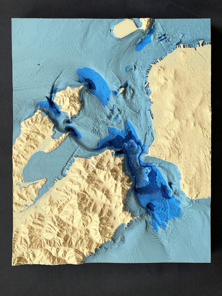
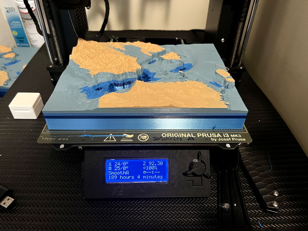
A relief map of San Francisco Bay being fabricated
02 — Sculpt

Building the relief

Terrain is sculpted with careful vertical exaggeration, then fabricated layer by layer over many hours, with depth rendered in bands of colour.

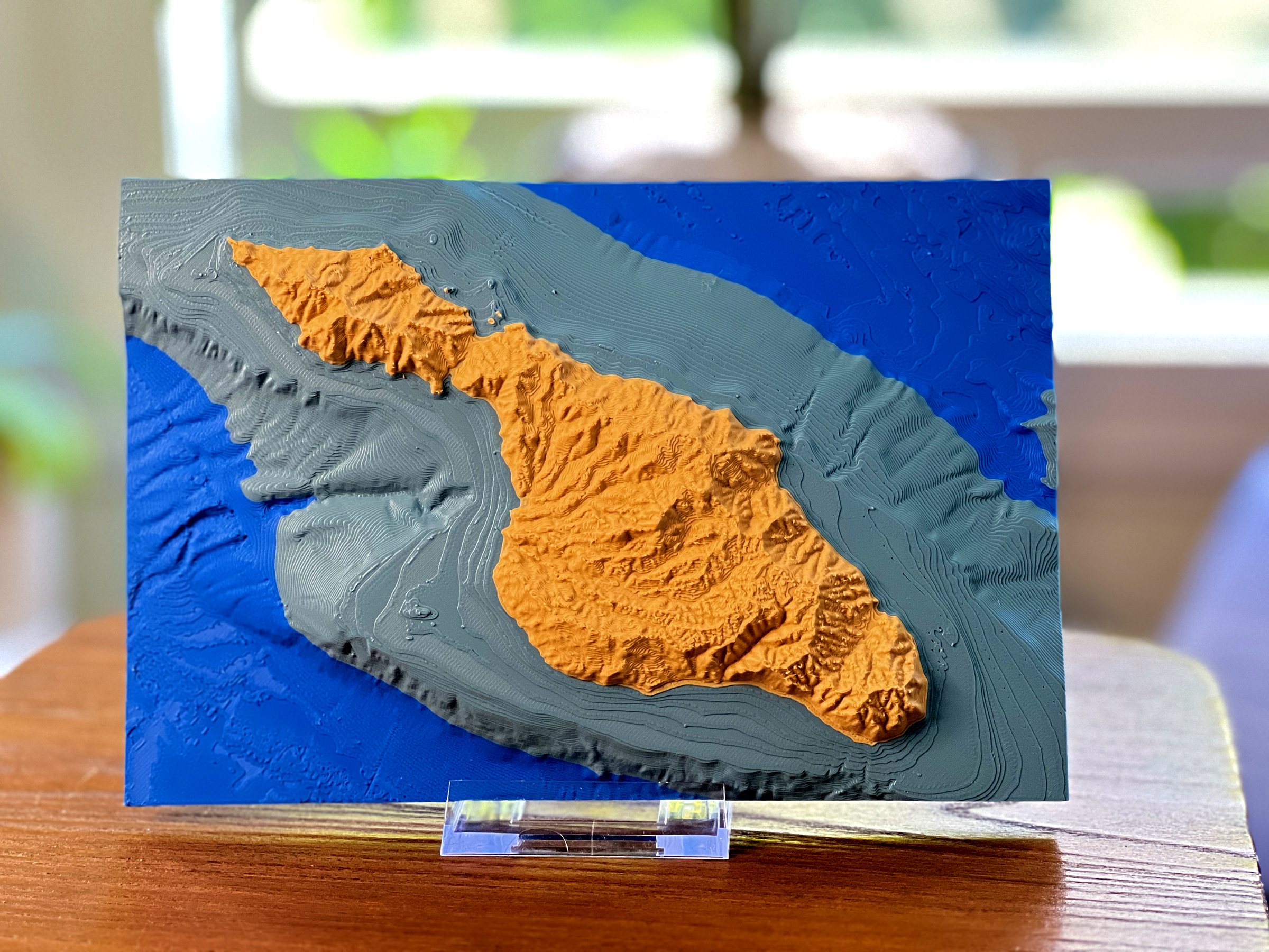
The finished Catalina Island piece
03 — Finish

An object to hold

Every work is finished and inspected by hand: a map you can touch, which reveals the space beneath the surface.

Commissions

Any coastline.
Any depth.

Private commissions

Is there a harbour, passage or stretch of coast that you don’t see here? We map the waters that matter to you, at the scale your space deserves.

Begin a commission →

Trophies & awards

Unique race trophies your regatta will cherish, cut from the very waters the fleet sailed.

Special projects →